Sorabora Lake
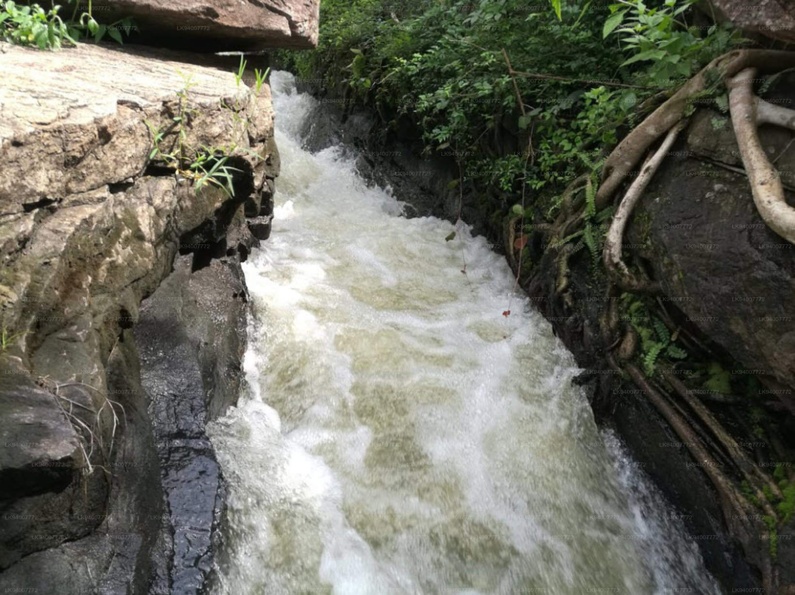
Sorabora Lake, located near Mahiyanganaya in Sri Lanka’s Uva Province, is not only an important irrigation reservoir but also steeped in historical and cultural significance. The lake's natural sluice gate, a unique engineering marvel, was created by carving a channel through a rock to control the flow of water from the lake into the irrigation canals, which still function efficiently today. This ancient technology demonstrates the ingenuity of early Sri Lankan engineering.
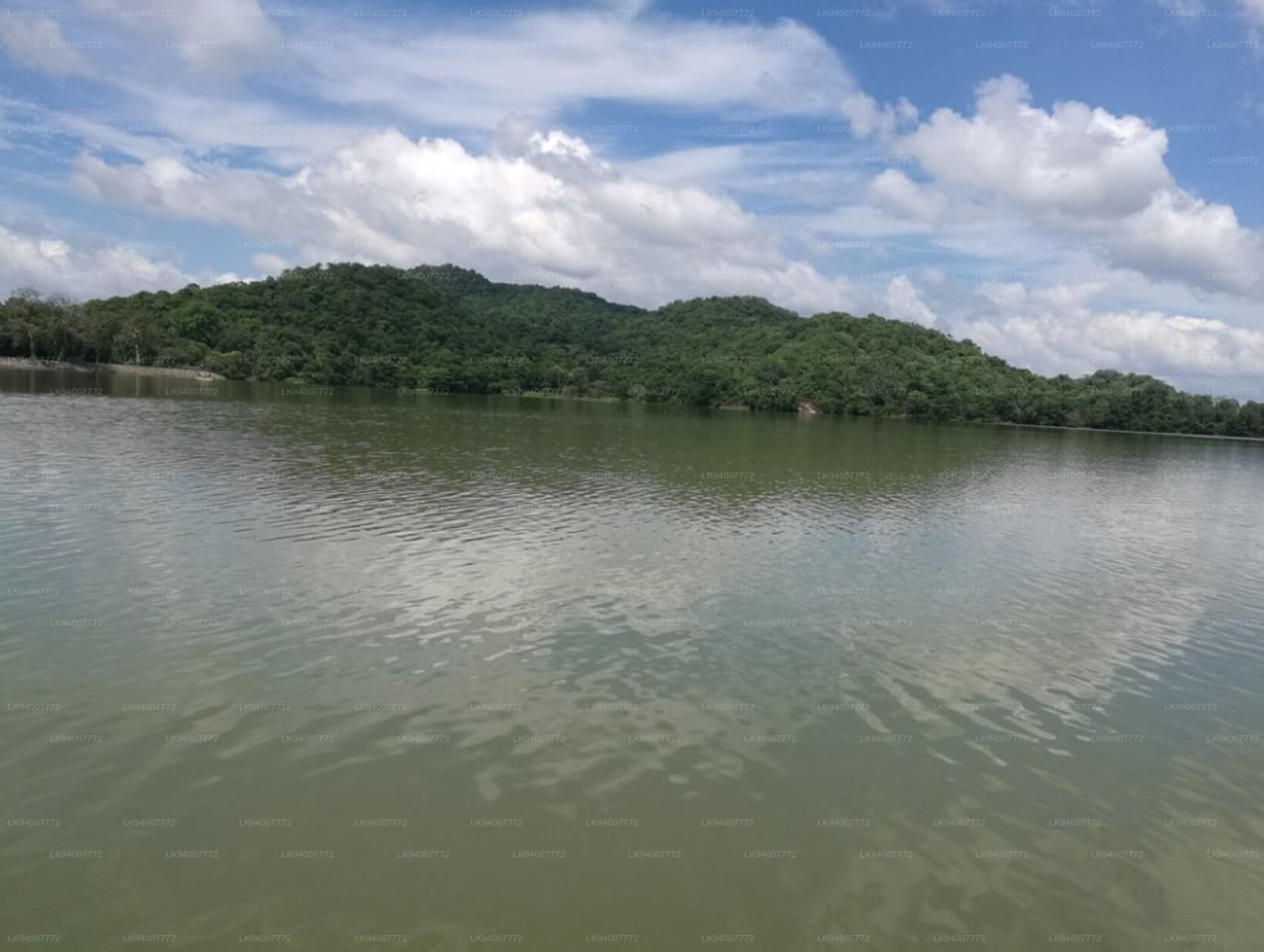
The lake covers an area of around 4,500 acres and has a storage capacity of approximately 11 million cubic meters of water, which supports paddy cultivation and other agricultural activities in the region. Farmers around the lake depend on its water supply for their livelihoods.
Sorabora Lake also holds cultural importance, as it is linked to local folklore. According to legend, the lake was created by Bulatha, a giant and an overseer of elephants in King Dutugemunu's reign, who was instructed to build the reservoir to support the people of Mahiyanganaya. Bulatha is said to have achieved this feat in a single night.
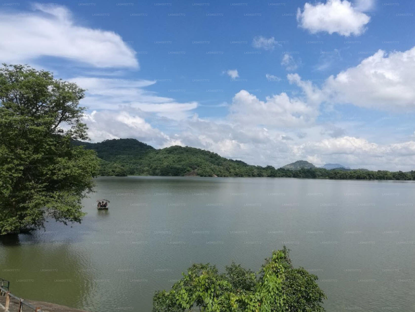
In addition to its historical and functional role, Sorabora Lake is a haven for wildlife. Bird species such as cormorants, egrets, and kingfishers are common around the lake, and it serves as a resting place for migratory birds during certain seasons. The surrounding area is also rich in biodiversity, with lush greenery and a serene environment making it a peaceful retreat for visitors.
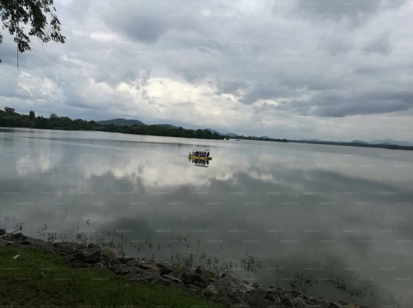
Tourism around Sorabora Lake has been growing in recent years, with activities such as boat rides, hiking, and camping becoming popular. The lake is close to other tourist attractions, such as the Mahiyanganaya Temple, one of the earliest Buddhist sites in Sri Lanka, and the Dambana Veddah Village, home to the indigenous Veddah community. This blend of natural beauty, history, and cultural heritage makes Sorabora Lake a significant and multifaceted destination in Sri Lanka.